Hurricane Isaias Nears Gulf Coast as Alabama Declares Emergency and Parks Close
Gulf Coast communities face a tightening preparation window as Isaias approaches. Alabama has declared an emergency in 40 counties, and the National Park Service has closed Gulf Islands National Seashore areas ahead of the storm.

Why it matters
This is a preparation window for coastal households and a disruption to public access and weekend travel. Inland communities also need to watch rainfall forecasts as the storm moves north.
What to watch
Check the next NHC advisory, county evacuation and shelter notices, road-closure updates, and forecasts from local National Weather Service offices. This article records a dated forecast snapshot rather than a live advisory.
- 01The NHC's 1 a.m. CDT October 9 advisory forecast landfall late Friday or early Saturday, with hurricane and storm-surge warnings still active.
- 02Alabama's emergency declaration covers 40 counties; state agencies are coordinating preparations and urging caution on roads.
- 03Gulf Islands National Seashore has closed areas in Florida and Mississippi, while inland forecasts point to a wet, windy weekend.
A narrowing window to prepare
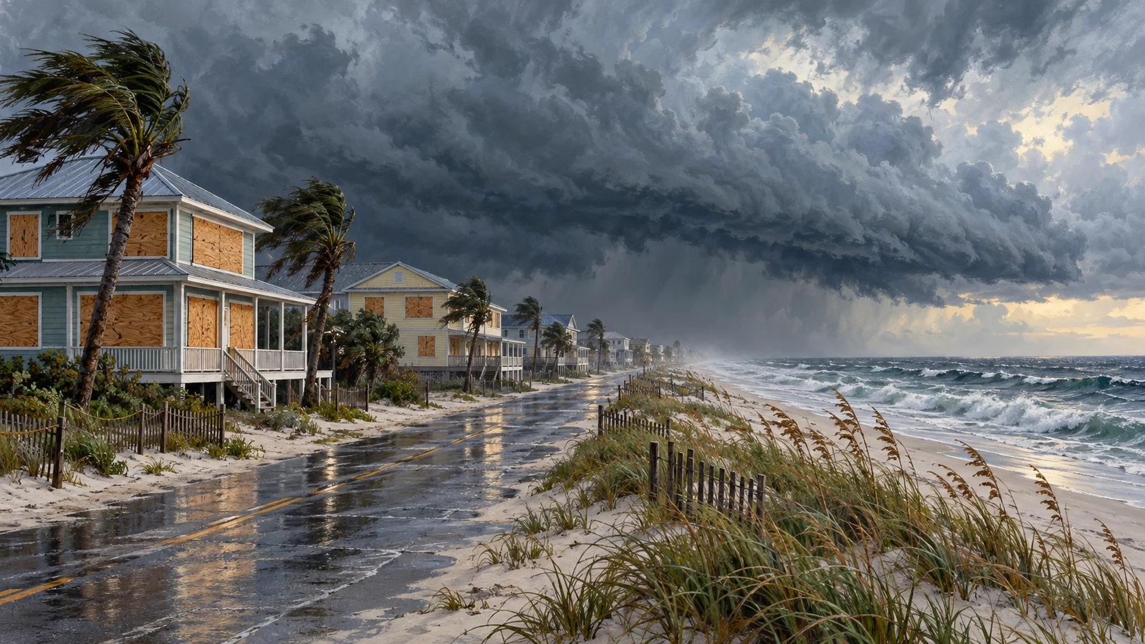
Hurricane Isaias is approaching the northern Gulf Coast, putting coastal residents on notice ahead of an expected landfall late Friday or early Saturday. Alabama has activated emergency plans, and national seashore areas in Florida and Mississippi have closed as officials prepare for hazardous weather.
At 1 a.m. CDT on October 9, the National Hurricane Center reported sustained winds of 105 mph, with the center about 230 miles south of the mouth of the Mississippi River. Its advisory kept hurricane and storm-surge warnings in place. Those figures describe that particular forecast update; they are not a live reading of the storm.
A storm's category describes its wind strength; it does not tell a coastal household how much water could reach its street.
Business Standard synthesis
Why the water threat deserves attention
The storm's wind speed is only part of the picture. The National Hurricane Center's guidance explains that hurricane categories measure sustained wind, while flooding and storm surge present hazards of their own. For a household close to the shore, the question is not simply how strong the wind becomes, but whether rising water could cut off the way out.
NOAA's National Ocean Service describes surge as water pushed toward the coast mainly by a storm's winds. Its height varies with the storm's size, movement and approach, as well as the shape of the coastline and the underwater terrain. Normal tides add another influence. Two nearby communities can therefore face different water levels, even during the same hurricane.
That helps explain why county-level instructions matter. A broad regional forecast provides the setting, but it cannot replace a local notice about a particular road, neighborhood or shelter. Readers should use official local updates to make decisions about their own address, rather than treat a single wind number as a complete description of their risk.
Alabama moves into emergency preparations
The Alabama Law Enforcement Agency said Governor Kay Ivey declared a state of emergency for 40 counties on October 7. The declaration took effect at 4 p.m. that Wednesday and was scheduled to continue through October 14. It gives the state a framework to coordinate resources ahead of potential impacts.
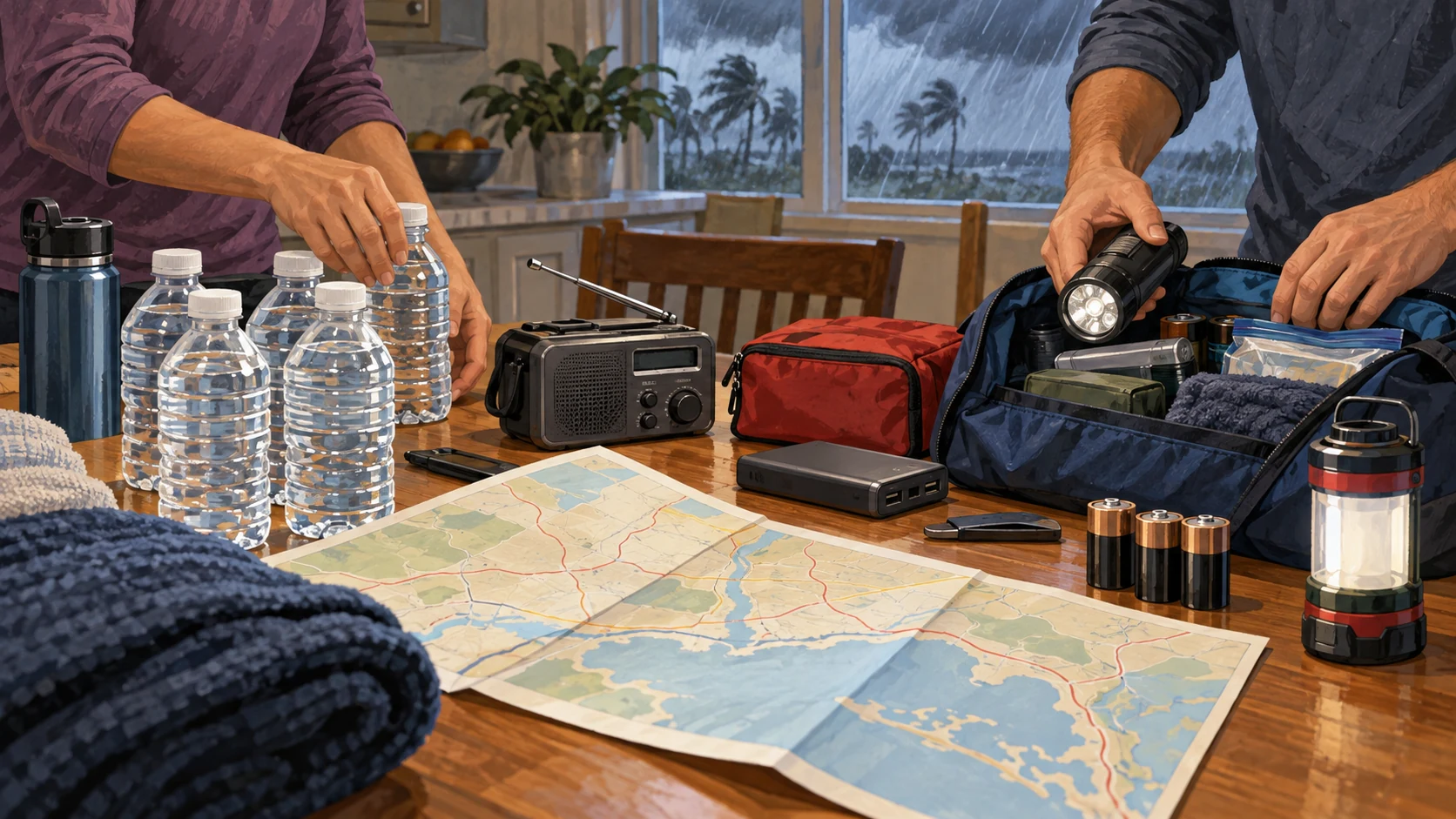
In its October 8 notice, the agency urged people to reconsider unnecessary travel during severe weather and check vehicle conditions, fuel and routes ahead of time. It also advised residents to charge phones, gather emergency supplies, secure loose outdoor items and keep more than one way of receiving alerts, including an option that can wake them overnight.
Those are ordinary tasks, but doing them before conditions worsen leaves fewer decisions for the last minute. The agency also cautioned drivers against entering flooded roads or passing barricades. A road that appears passable from a distance may conceal damaged pavement, debris or water deep enough to make the crossing unsafe.
National seashore closures affect coastal plans
The National Park Service announced that all areas of Gulf Islands National Seashore would close beginning October 7 as the storm approached. Its notice listed Florida locations including Fort Pickens, Opal Beach, Johnson Beach and the Naval Live Oaks area. In Mississippi, the closure covered barrier islands, including Ship Island, and the Davis Bayou area.
The park service also said Highway 399 on Santa Rosa Island would close Friday, with the time still to be determined in that notice. Anyone planning a beach visit or a drive through the park should check for subsequent announcements. A closure issued before a storm is a preparation measure; it does not establish that damage has already occurred.
The forecast extends beyond the shoreline
Inland communities are also watching Isaias. An early October 9 discussion from the National Weather Service in Nashville forecast roughly 1 to 3 inches of rain and gusts of 30 to 40 mph in Middle Tennessee over the weekend. The office expected the heaviest rain on Saturday and Saturday night, with the system moving away on Sunday.
The Memphis forecast office likewise highlighted heavy rain and strong winds from the storm's remnants on Saturday. Its local update called for generally 1 to 3 inches of rain, with higher amounts possible, and identified a flood watch extending into Sunday morning. These forecasts show why people far from the beach still have a reason to follow the storm.
The broader hurricane guidance offers another reminder: inland flooding can continue after the strongest winds have passed. Rainfall, drainage and river conditions deserve attention alongside the storm's changing classification. Weekend plans may need another look even in places that will never experience coastal surge.
What to check as the forecast changes
NOAA explains that the hurricane center normally issues updated forecast text and graphics every six hours. Those products cover the track, intensity, watches and warnings, and the possible arrival of tropical-storm-force winds. Checking the time on an advisory is therefore as important as reading the headline above it.
For readers following Isaias on October 9, the useful next steps are to review the newest official advisory, local evacuation or shelter notices, and road conditions before traveling. NOAA's dedicated storm resource page links to forecasts and local information. The situation remains a forecast-driven preparation story, and later updates may change the timing or extent of the expected impacts.
Sources & documents
Links open the records used to review central claims. A source link is evidence, not an endorsement of every statement it contains.
- 01National Hurricane Center — Isaias Advisory 10A, 1 a.m. CDT, October 9Official forecast snapshotOpen source ↗
- 02Alabama Law Enforcement Agency — preparations and emergency declarationOfficial state noticeOpen source ↗
- 03National Park Service — Gulf Islands National Seashore closureOfficial park closure noticeOpen source ↗
- 04National Hurricane Center — hurricane hazards explainedOfficial background and safety contextOpen source ↗
- 05NOAA National Ocean Service — how storm surge developsOfficial science explainerOpen source ↗
- 06National Weather Service Nashville — October 9 forecast discussionOfficial local forecast; updates over timeOpen source ↗
- 07National Weather Service Memphis — local storm and flood informationOfficial local forecast; updates over timeOpen source ↗
- 08NOAA — hurricane forecasting and advisory updatesOfficial forecasting explainerOpen source ↗
- 09NOAA — current Isaias forecast and local resourcesOfficial live resource hubOpen source ↗
Public Life Editor
Collective topic editor
The Public Life Editor reads the orders, filings, legislation and official data behind political claims, then explains what changed, what did not and what comes next.
View related posts →